Mount Paraw Kermanshah: Iran’s Hidden Giant in the Zagros Mountains
Toughest climb in Kermanshah's Zagros range
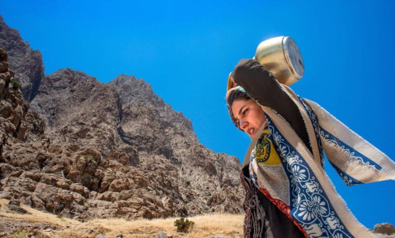
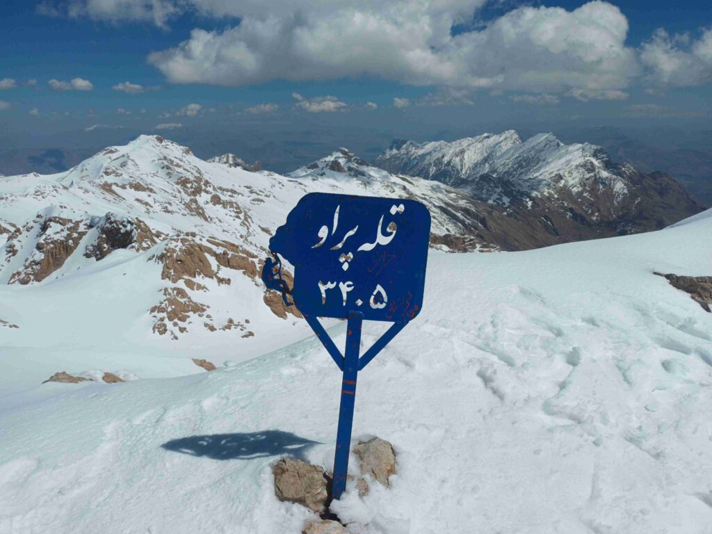
Mount Paraw dominates the northeast of Kermanshah in western Iran. Also known as Parau or Parow, this towering peak draws attention for its height and technical terrain. Rising to 3,405 meters, it is the highest peak in Kermanshah Province and one of Iran’s toughest climbs.
It’s part of the Zagros Mountain Range, recognized for its parallel ridges and highland valleys. Beyond elevation, Paraw attracts climbers for its rugged routes, vast limestone formations, and world-famous caves.
Contents
Geographical Overview
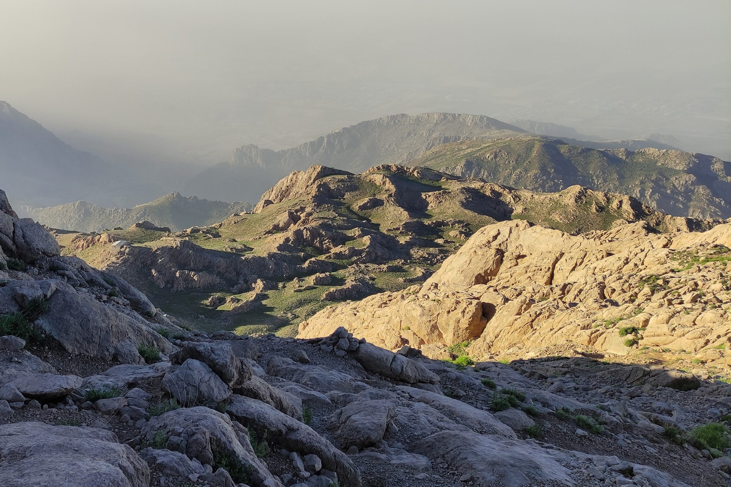
Over half of Kermanshah Province is mountainous. The Zagros Range, with its dramatic ridgelines, supports a rich variety of alpine flora and fauna.
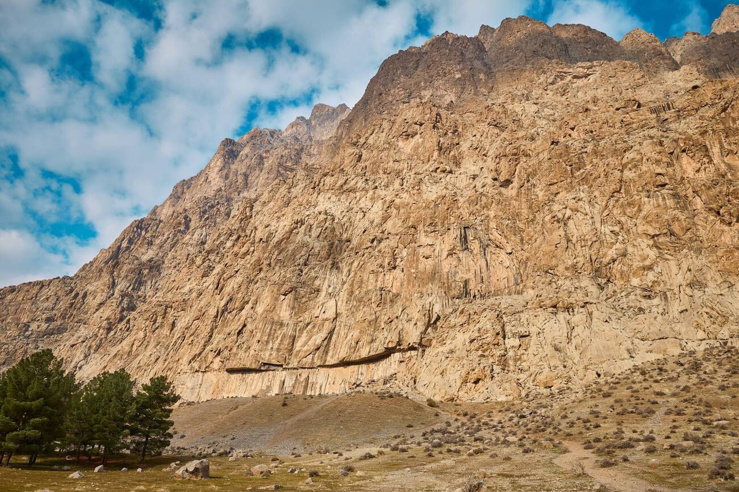
Mount Paraw stretches around 80 km, covering 880 square kilometers. Its main ridge runs west to east, featuring peaks such as Kharaman, Fateh-Charmi, Namazgah, Shahveydalan, Se-kol, Zanehan, Bisotun, and Ban Barzeh – most of which rise above 3,000 meters. Many sections are technical and rope-assisted, especially around Kharaman, Fateh-Charmi, Sekol, and Bisotun.
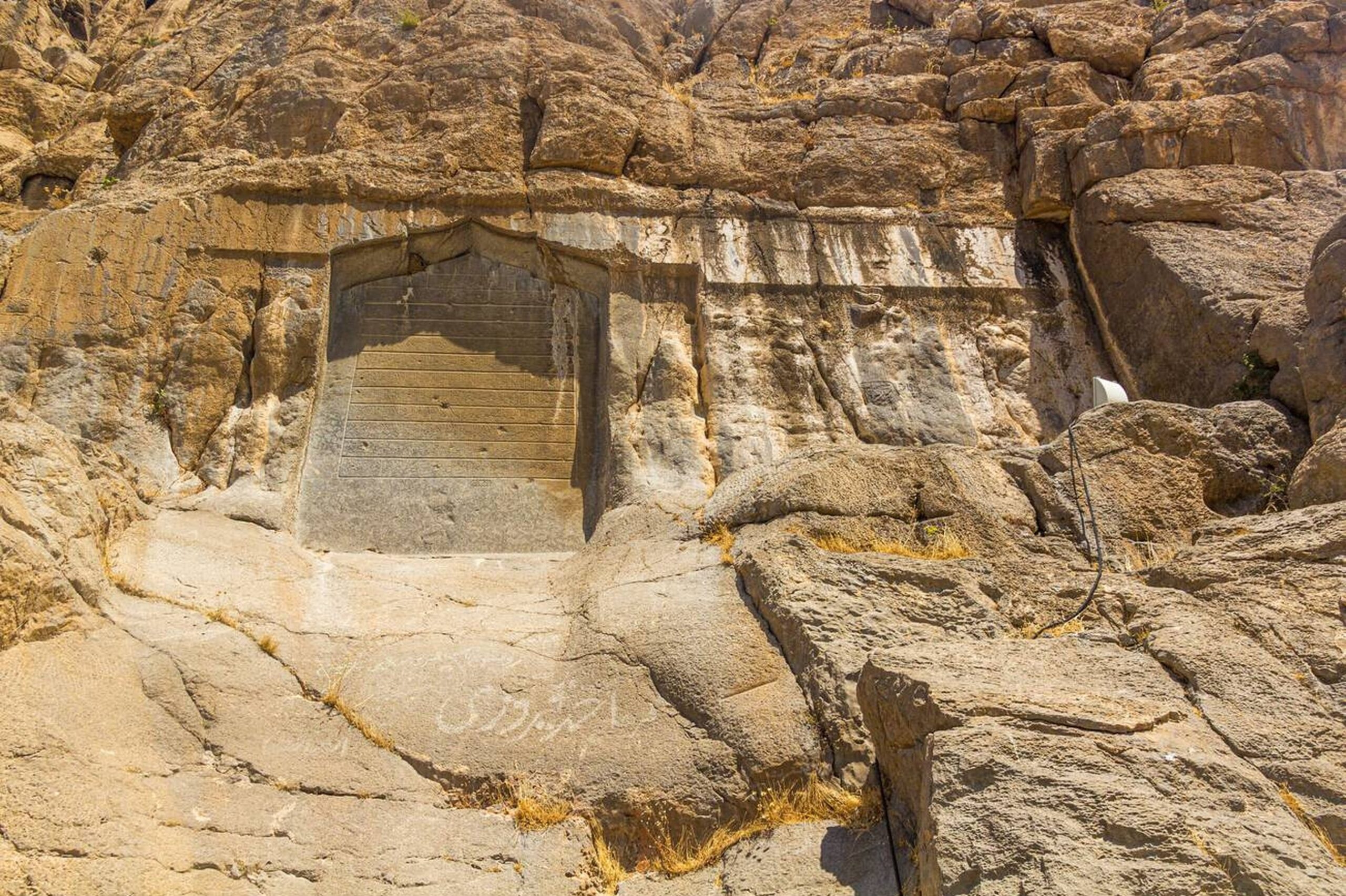
Photo by Matyas Rehak / Alamy Stock Photo
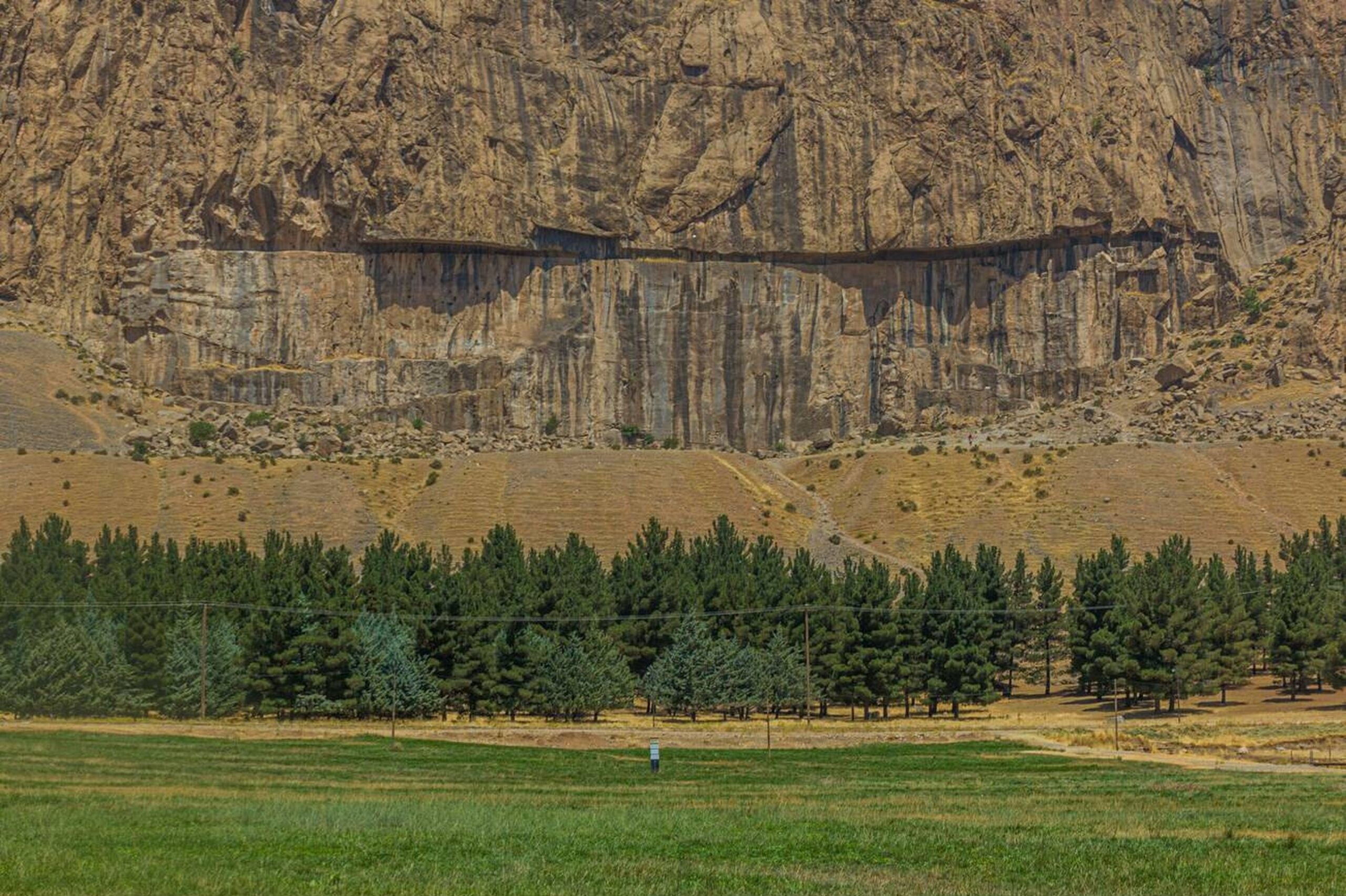
Bisotun Wall: The “Everest of Rock Climbing”
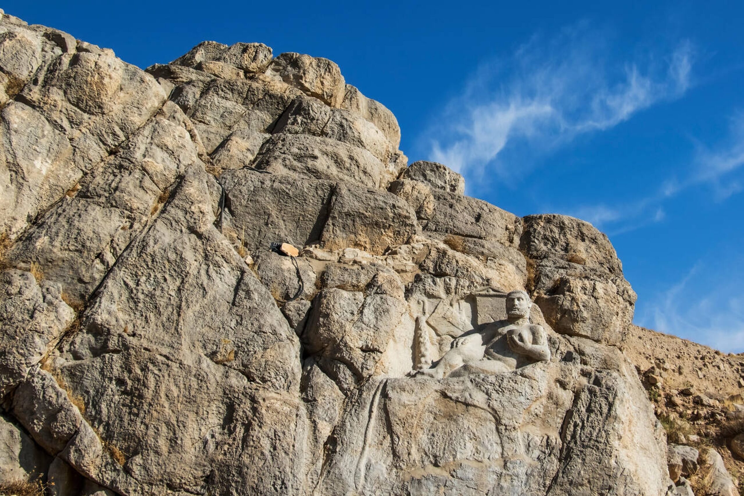
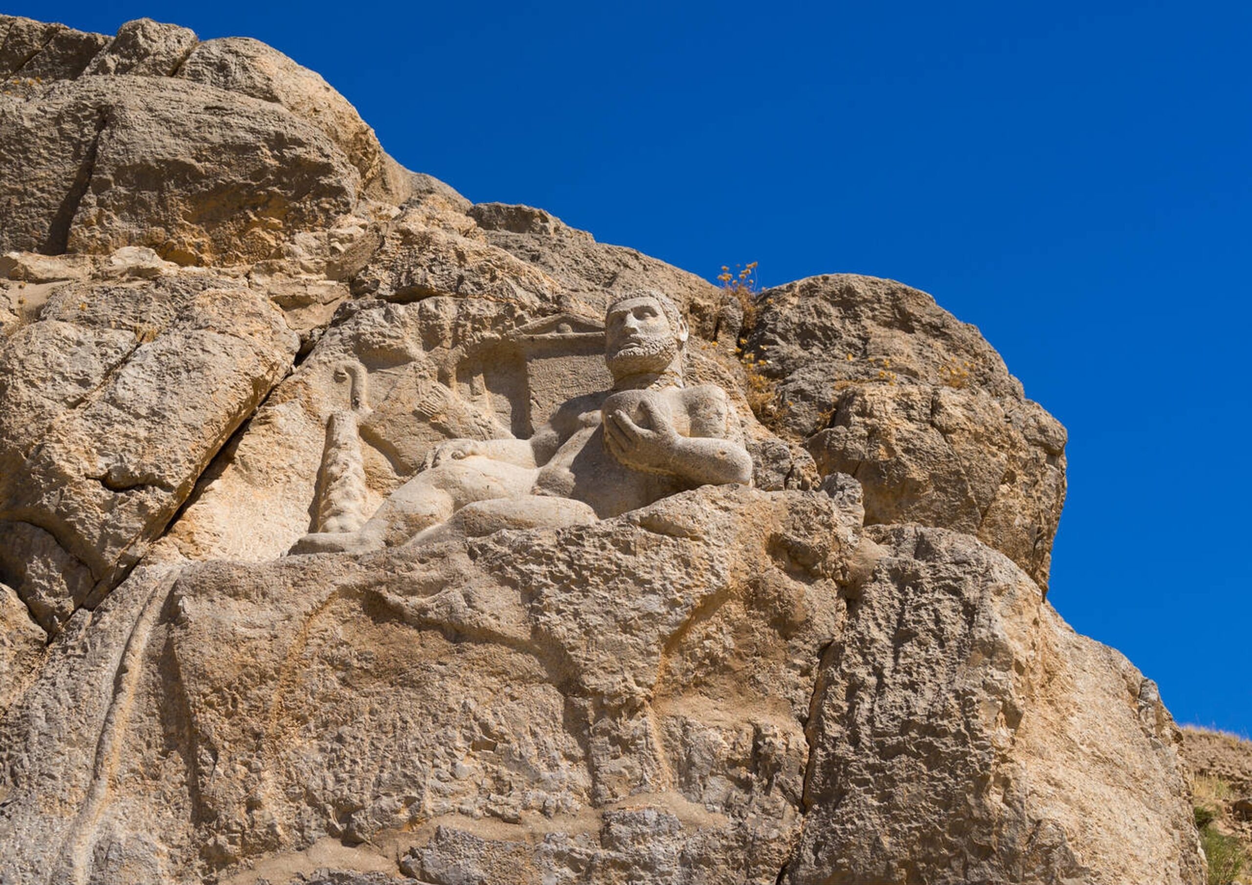
Located within the Paraw massif, the Bisotun Wall rises 1,200 meters high and spans more than 5,000 square meters. This is one of the world’s most technical rock climbing walls, often called the “Everest of Rock Faces.” It’s also home to the UNESCO-listed Behistun Inscription, the largest rock inscription in the world and the earliest known Iranian text.
Access requires climbing permits, and some parts may be seasonally closed due to conservation or weather conditions. Visitors should consult local authorities or tour operators in advance for Mount Paraw.
Caves of Global Significance
Due to deep limestone layers and tectonic pressure from Alpine orogeny, Paraw hosts some of Iran’s deepest caves:
- Paraw Cave
- Jujar Cave
- Qezlan Cave
- Ghala Well Cave
These are major destinations for professional cavers and researchers worldwide.
Common Ascent Route
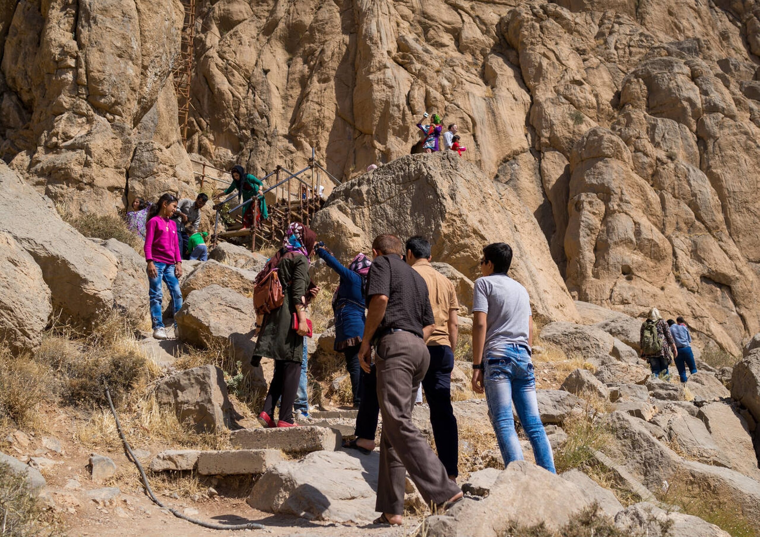
The most traveled ascent to Mount Paraw starts at Chalabeh Village, 20 km east of Kermanshah on the Kermanshah-Bisotun road. In local dialect, “Chalabeh” comes from “Chal Aveh,” meaning “water gathering place.”
Southern Route
Route: Cement Factory → Chalabeh Village → Guard Post → Dasht-e Mangalat → Khersang → Duzari Spring → Shelter → Summit
- Total distance: 19.5 km
- Water source: Duzari Spring
- Mobile signal: Partial
- Overnight options: Near Duzari Spring or Paraw Shelter
- Nearest medical facility: Kermanshah City
Key Stats
- Summit Elevation: 3,405 m
- Base Elevation: 1,570 m
- Coordinates: 34.418190 N, 47.243565 E
- Best Season: Spring
- Mountain Range: Zagros
Meaning Behind the Name
In Kurdish, “Paraw” refers to Mount Paraw, derived from “Par” (plenty) and “Aw” (water), referring to its historically abundant springs. Another meaning connects to Farhad, a legendary figure in Persian folklore, symbolizing endurance and devotion.
Flora and Fauna
Vegetation
Paraw features rich biodiversity with vegetation such as:
- Wild thyme, mountain leek, Persian hogweed, salsify, wild garlic, mushrooms
- Medicinal herbs like sourbena, ninoor, and shang
- Trees and shrubs: almond, hawthorn, wild cherry, and astragalus (used to produce high-quality gum tragacanth)
Wildlife
Animal life includes:
- Mammals: Bears, foxes, jackals, wolves, leopards, and endangered mountain goats
- Birds: Partridges and sandgrouse
Difficulty Level
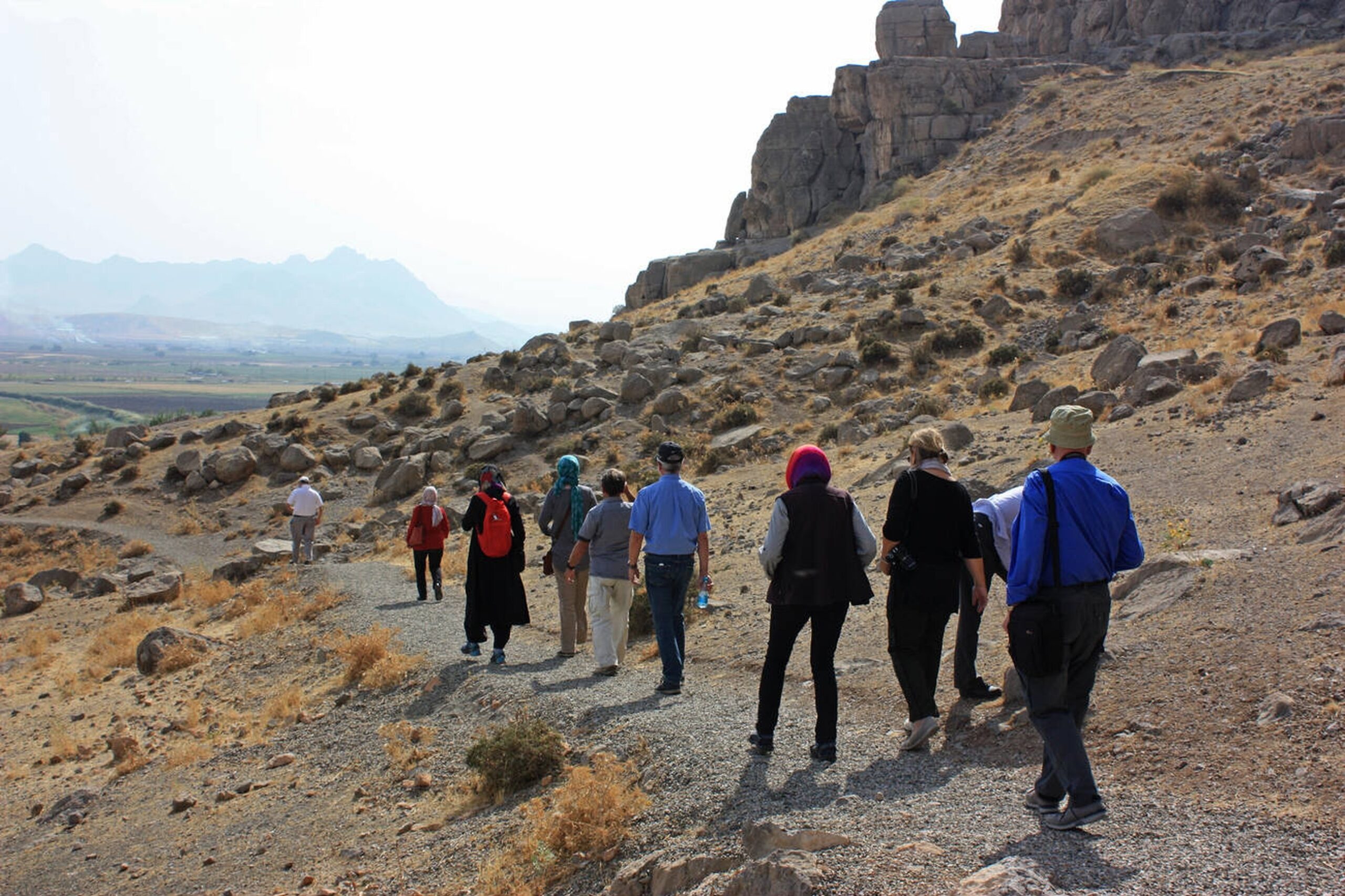
Paraw is rated very difficult due to its:
- Long and steep approach
- Technical climbing sections
- Unpredictable weather
This climb is suitable for advanced mountaineers with rope and alpine experience.
Weather by Season
Spring
Expect melting snow, cold nights, and sudden rain on Mount Paraw. Daytime temperatures range from 5°C to 15°C. Gear for variable conditions is necessary.
Summer
Warm at lower altitudes (20°C to 30°C) and cool at the summit (10°C to 20°C). Afternoon thunderstorms are possible. Ideal for ascents.
Autumn
Features crisp air and early snow at high elevations. Temperatures range from 5°C to 15°C. Windy conditions are common.
Winter
Brutally cold with heavy snow and strong winds. Temperatures may fall below -10°C. Only suitable for well-equipped winter climbers.
Climbing Duration
- One-day ascent: For highly experienced climbers only
- Standard two-day climb:
- Day 1: Base to shelter
- Day 2: Shelter to summit
- Multi-day trek: Ideal for less experienced hikers or those wanting to enjoy the scenery
Alternative Routes
Paraw Cave Route
Starts near Paraw Cave. Highly technical and demanding.
- Difficulty: Very Hard
- Recommended for: Expert climbers with rope and cave experience
Shanul Route
Begins in the Shanul area. Features a mix of rocky trails and paths.
- Difficulty: Moderate to Hard
- Recommended for: Experienced hikers familiar with the route
Essential Gear Checklist
- Mountaineering boots with strong grip and insulation
- Layered, waterproof clothing
- Ropes and carabiners for technical segments
- Headlamp with extra batteries
- First-aid kit
- GPS and topographic map
How to Get There
The best way to reach Chalabeh Village is via private car or local transport from Kermanshah. For bus, train, or private transfers, book with OrientTrips.
Where to Stay
Camp at Duzari Spring or Paraw Shelter. For hotel options in Kermanshah, visit OrientTrips Kermanshah Hotels.
Nearby Attractions
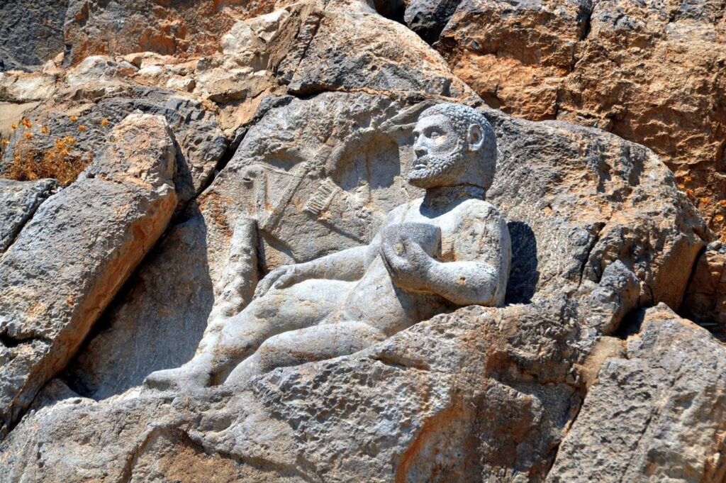
Explore the UNESCO-listed Behistun Complex, home to ancient Persian inscriptions and carvings. For in-depth cultural experiences, consider SURFIRAN’s tailored tours around Kermanshah.
Final Tips
Climbing Mount Paraw is not just a physical feat – it’s a test of resilience, preparation, and skill. Whether you’re aiming for high-altitude trekking, technical climbs, or spelunking Iran’s deepest caves, Mount Paraw delivers one of the country’s most thrilling mountain adventures.
For visas, insurance, SIM cards, or gear essentials, visit OrientTrips.
